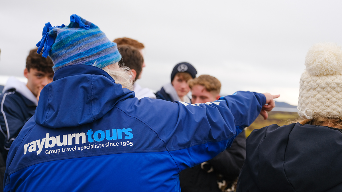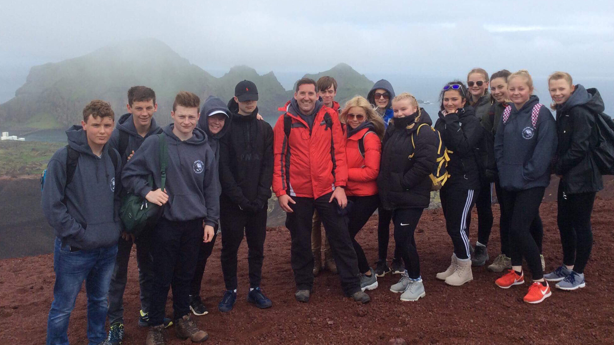
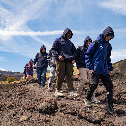
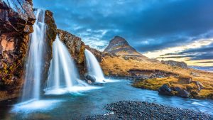
Malcolm Burden, Cardinal Newman Catholic School - Iceland 2024
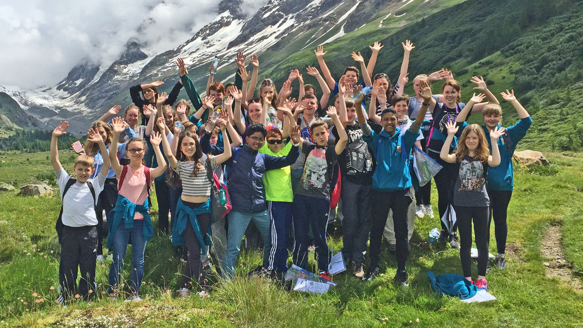
Beth Macdonald, Alness Academy - Iceland 2024
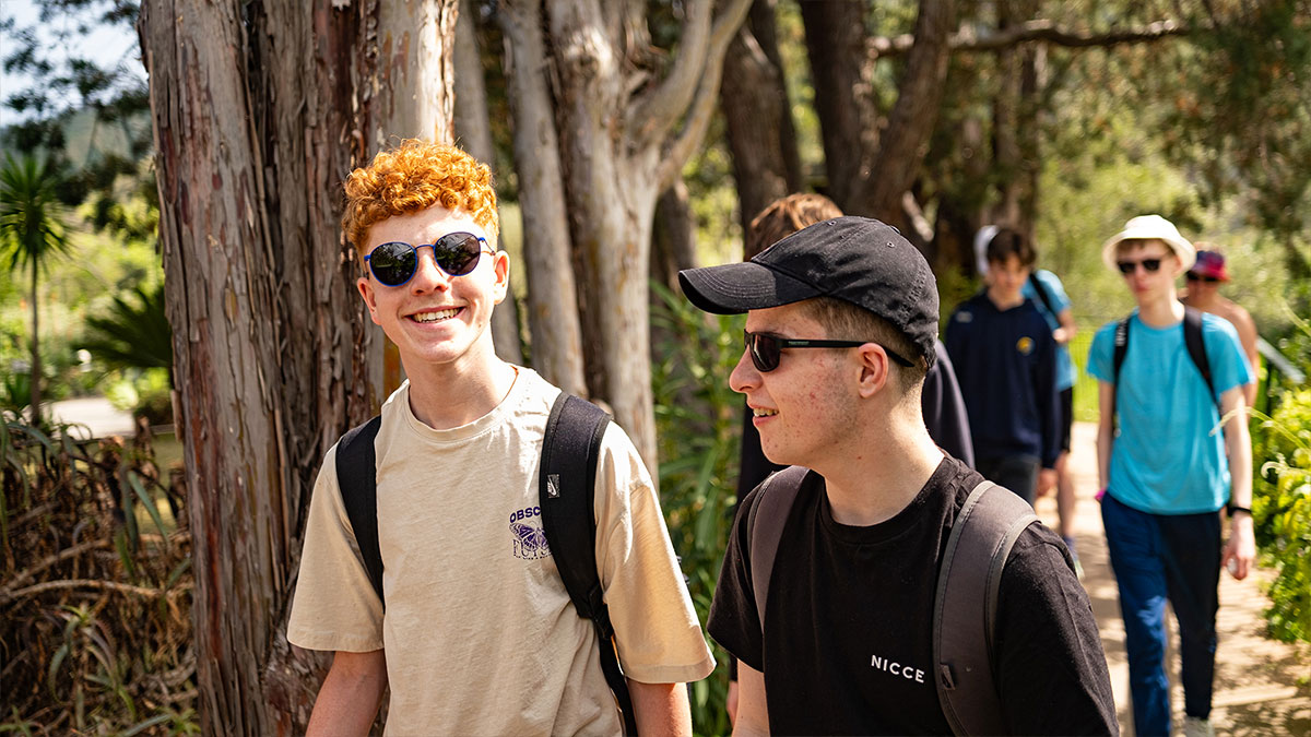
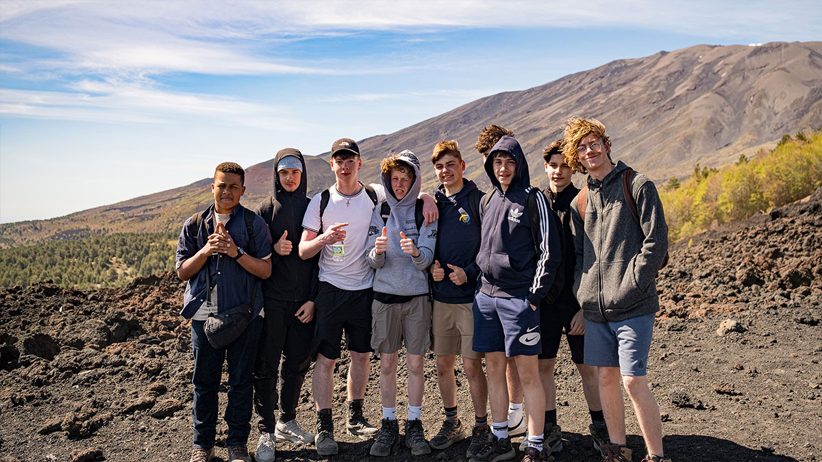
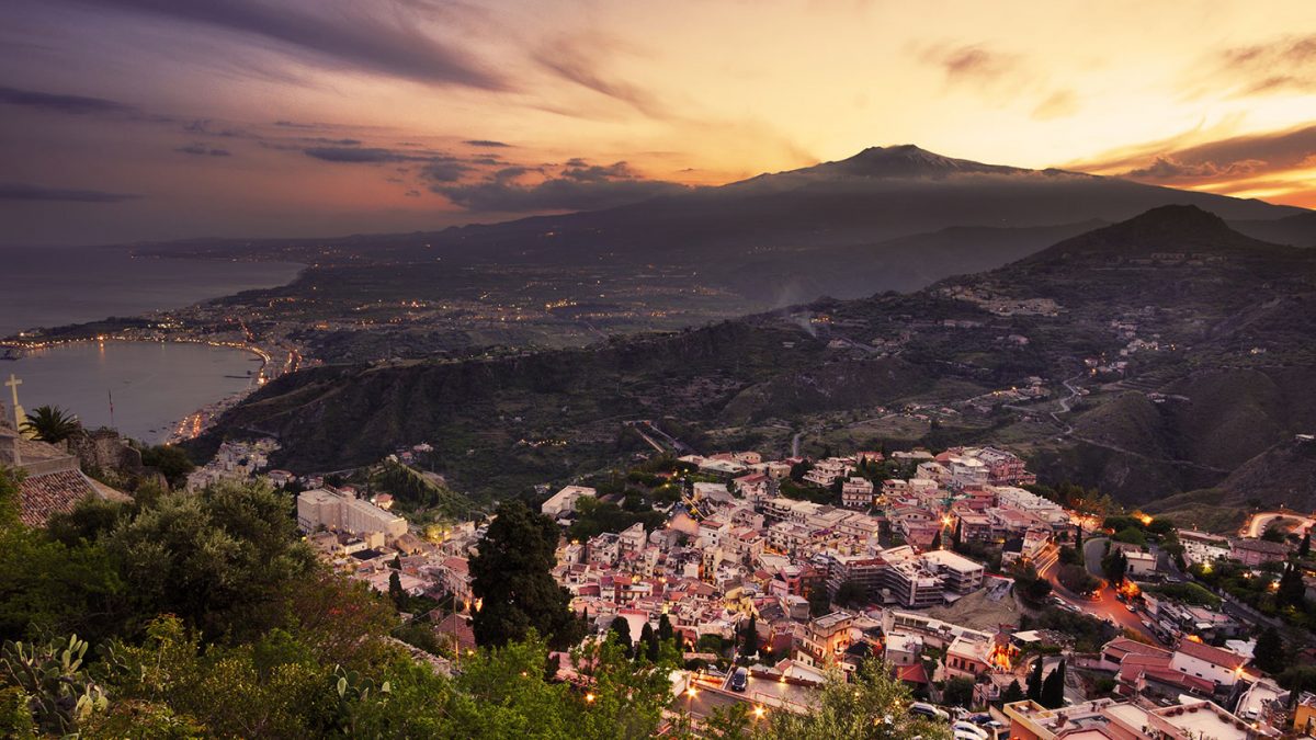
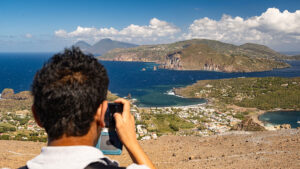
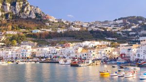
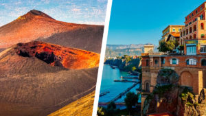
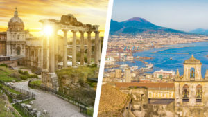
Jonathan BayliffeHad an amazing Geography school trip to Sicily during half term with Rayburn. This must have been our school’s 12th or 13th Sicily trip, which have all been organised by Rayburn. The organisation from Anna and Silvia was excellent and the students had a fantastic time. Our next trip is already booked, and Anna has already started talking about our itinerary!
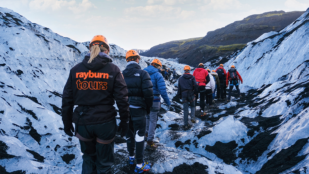
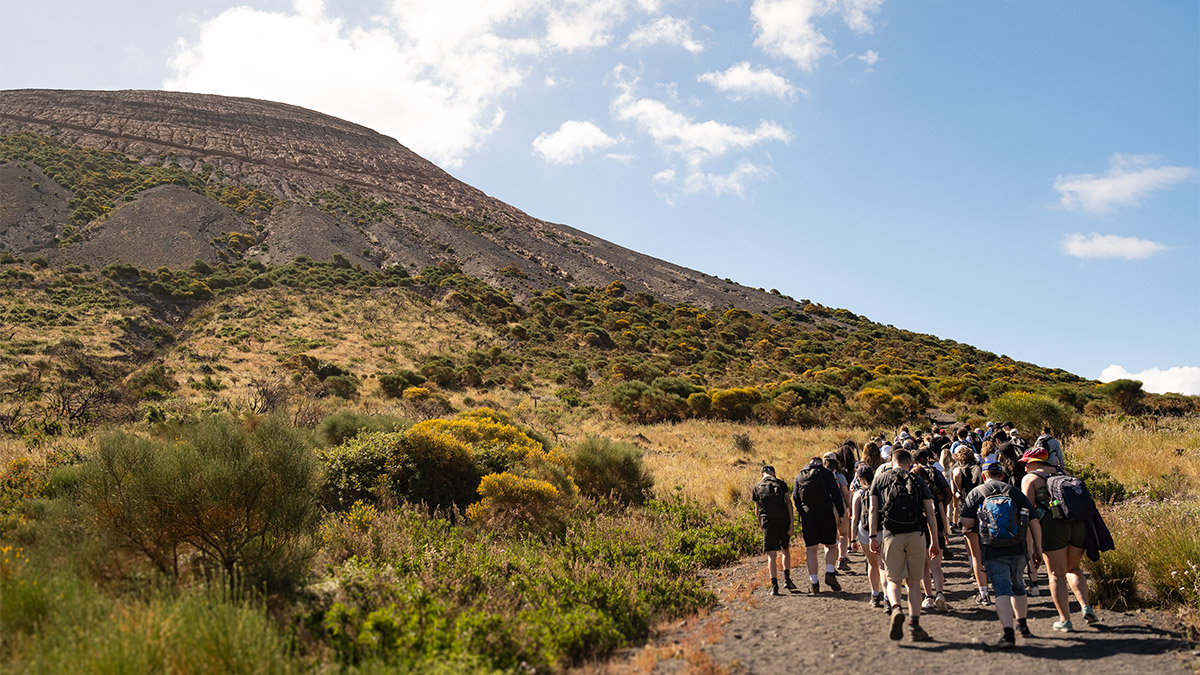
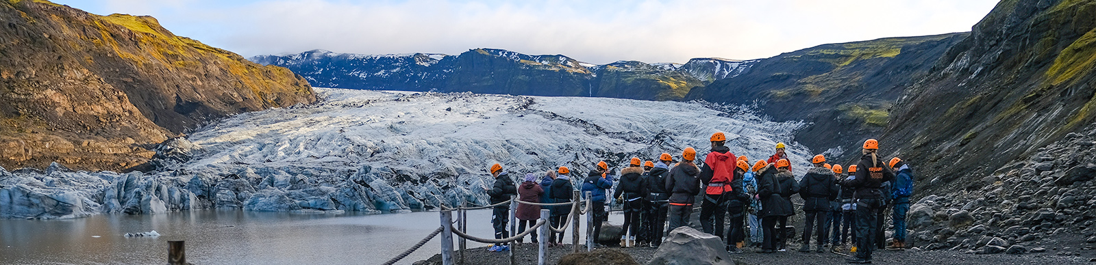
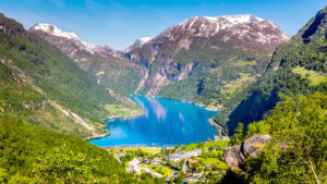
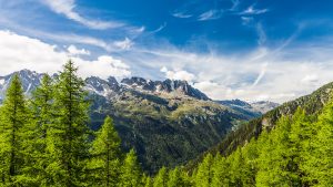
Keith TurnbullThis wonderful island contains some impressive natural wonders which provide students with hugely memorable experiences. Not only are these hugely relevant to the geography curriculum but Rayburn Tours are always a reliable and experienced company to work with there.
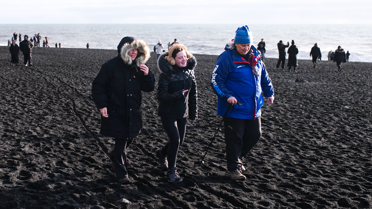
K Allison-GuyWe used Rayburn for a recent trip to Iceland and had a fantastic time. Our Field Studies Tutor was absolutely wonderful and made the whole experience so much better. I would definitely use them again!
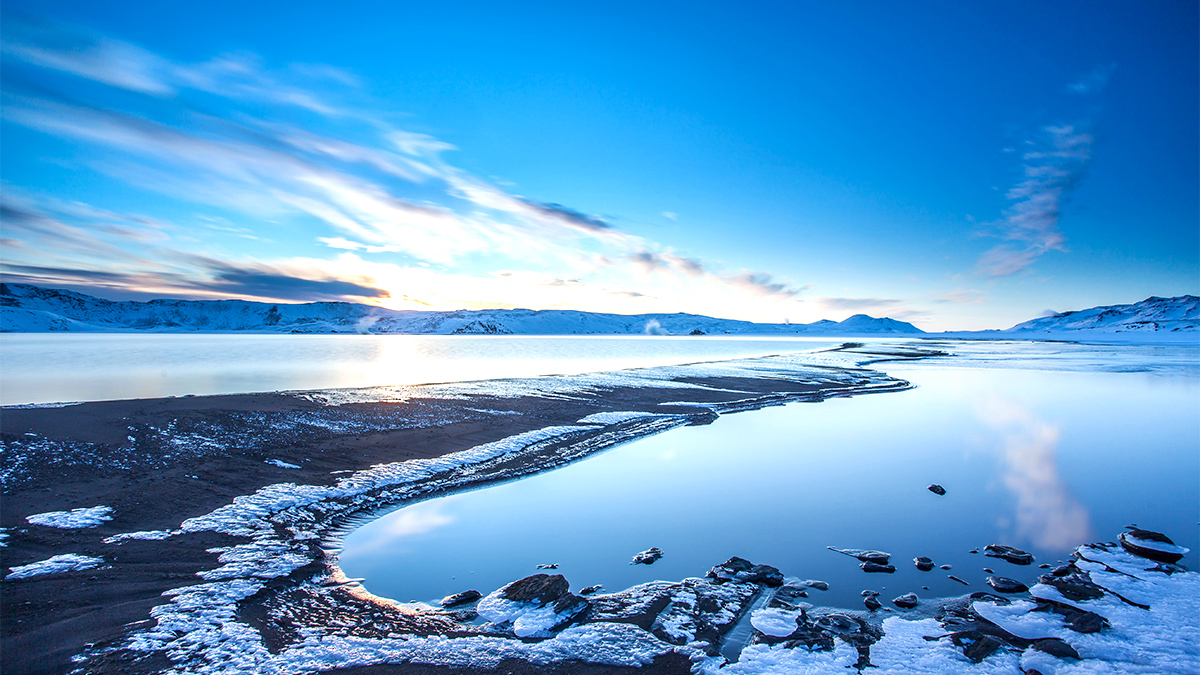
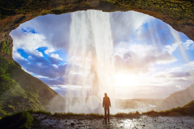
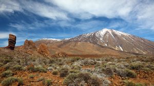
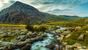
Phil Brooks, Dudley CollegeA spectacular sense of otherness, experiencing alien landscapes, under the midnight sun – a life changing adventure!
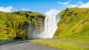
Calley Toomey, Bishop Justus C of E SchoolA fantastic experience for students to develop their classroom knowledge and be inspired by the amazing physical geography of Iceland.
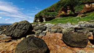
Elizabeth Taylor, Chenderit SchoolAn excellent ‘full on tour’ of the natural glacial and tectonic features of Iceland!