
Vatnajökull: The battle of fire and ice.
Journey Into the Heart of Vatnajökull National Park
If you have the time when you’re in Iceland head east from Vik along the “1” road towards the Vatnajökull National Park, Europe’s largest National Park covering 13% of Iceland’s land area. The route from Vik takes you around Mýrdalsjökull and through the Eldhraun (Fire Lava). This massive lava field is the result of Iceland’s most destructive volcanic eruption, the details of which deserve a blog post all of their own so that will have to wait for another time.
First Glimpse of a Giant: Vatnajökull on the Horizon
Once you have passed through Kirkjubæjarklaustur (another Icelandic tongue twister) the windscreen is soon dominated by the massive Vatnajökull ice cap; the third largest in the world after Antarctica and Greenland. Beneath what appears from a distance to be a pristine, white surface, lies the hidden menace of several large, active central volcanoes including Grimsvötn and the now familiar Bárðarbunga.
Skeiðarársandur: Where Fire Meets Ice in Dramatic Fashion
The volatile combination of fire and ice soon becomes apparent as you cross the broad, black deposits of Skeiðarársandur, the vast low-lying outwash plain, sliced by a tangled web of braided rivers that regularly change course. During an eruption of Grimsvötn (Iceland’s most active volcano) in 1996 a huge jökulhlaup (glacial outburst flood) swept through this area. A wall of water 3-4 metres high and half a kilometre across broke out from the snout of Skeiðarárjökull. Huge blocks of ice, some the size of 3 storey buildings, were carried for a distance of about 15km, across the “1” road and towards the sea. Warnings were given and as there are few people living in this area there were no human casualties but the vital link between east and west Iceland was severed as bridges were destroyed and 10km of the road damaged. In true Icelandic style, however, it only took 21 days to reconnect the route. They don’t mess about!
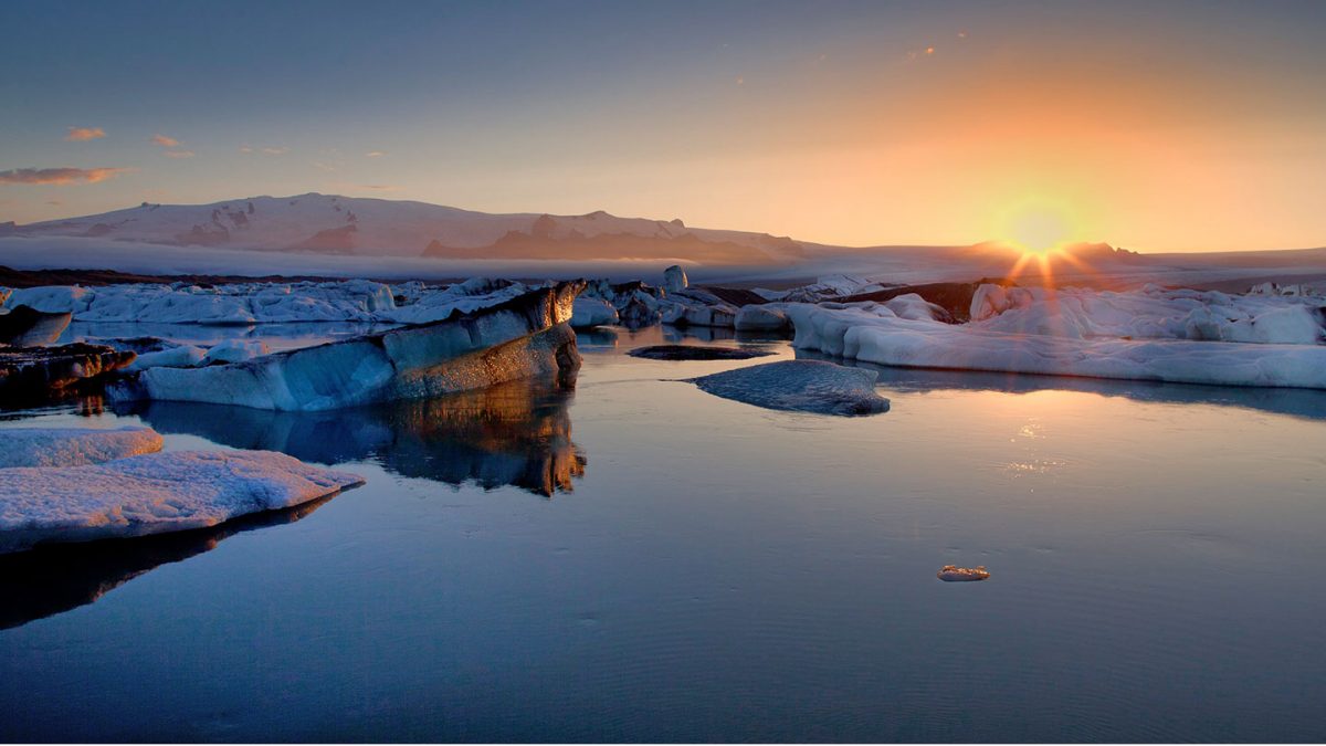
From Chaos to Calm
It’s hard to imagine such a devastating force when you view Skeiðarárjökull today; a wonderful example of a piedmont glacier as it sprawls out across the lowland. Its snout is clearly visible from the road.
Glaciers, Waterfalls, and Peaks
We’re not finished yet though. Your adventure has only just begun as the panorama of smaller valley glaciers sliding down from the central ice cap becomes apparent. The National Park Visitors Centre is a great place to start exploring from. Svartifoss is a waterfall flanked by wonderful overhanging basalt columns and you can easily access the snout of Skaftafellsjökull from the car park. If you’re feeling more energetic then the best views are from above. The effort is worth every step as you gaze down at the crevasse-ridden tongue of ice that reaches through the ice-scoured valley below. You might even catch a glimpse of Hvannadalshnúkur, Iceland’s highest peak, off in the distance.
A Living Classroom of Natural Contrasts
The diversity of this unique landscape offers powerful contrasts of natural wonders created by the combined forces of rivers, glaciers and volcanic activity. Where better to learn about the volatile interaction of fire and ice?
![]()
School Trips to Iceland Await
Chat with our team to start planning your school trip to Iceland today!