Iceland: The Land of Fire and Ice

Last updated: Mar 11th, 2024


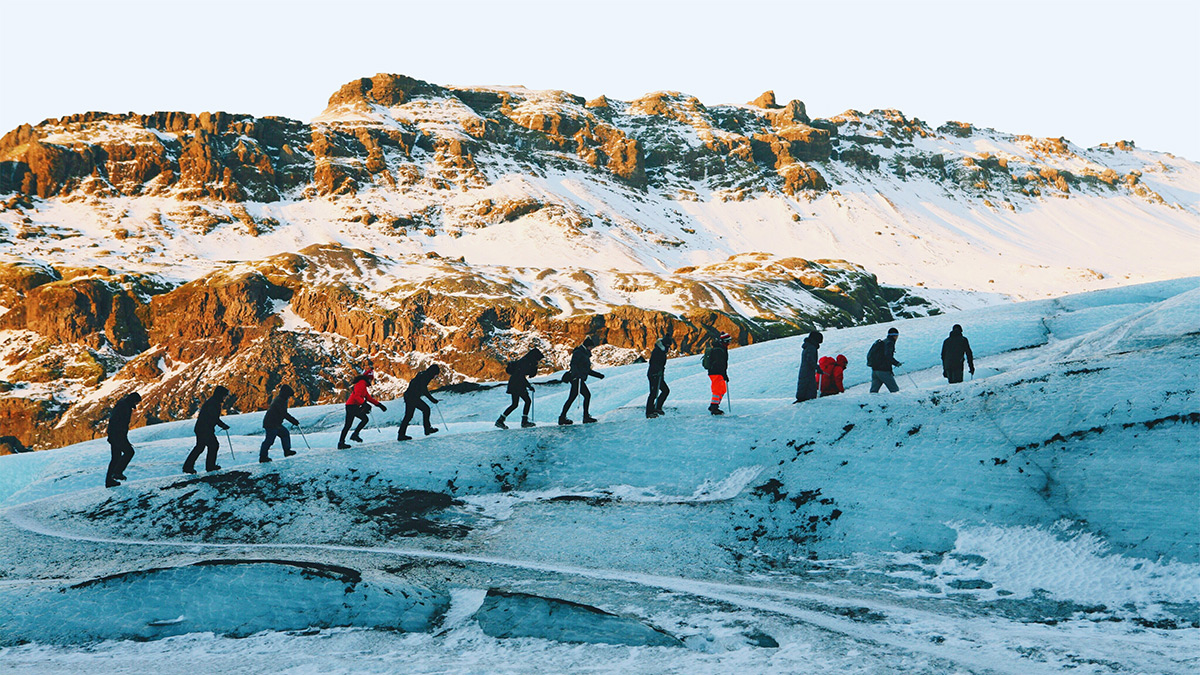
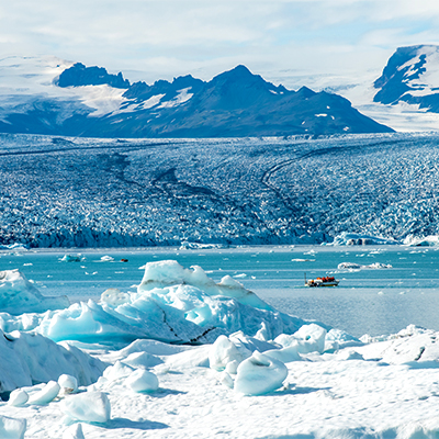
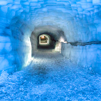
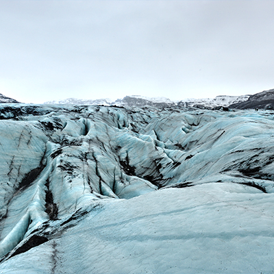
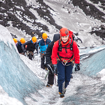
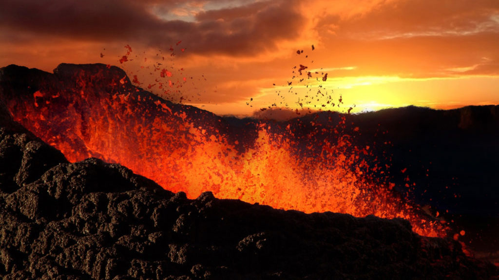
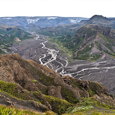
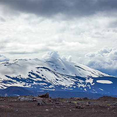
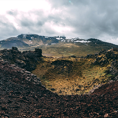
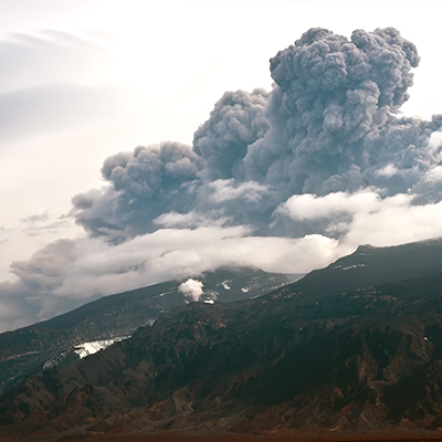
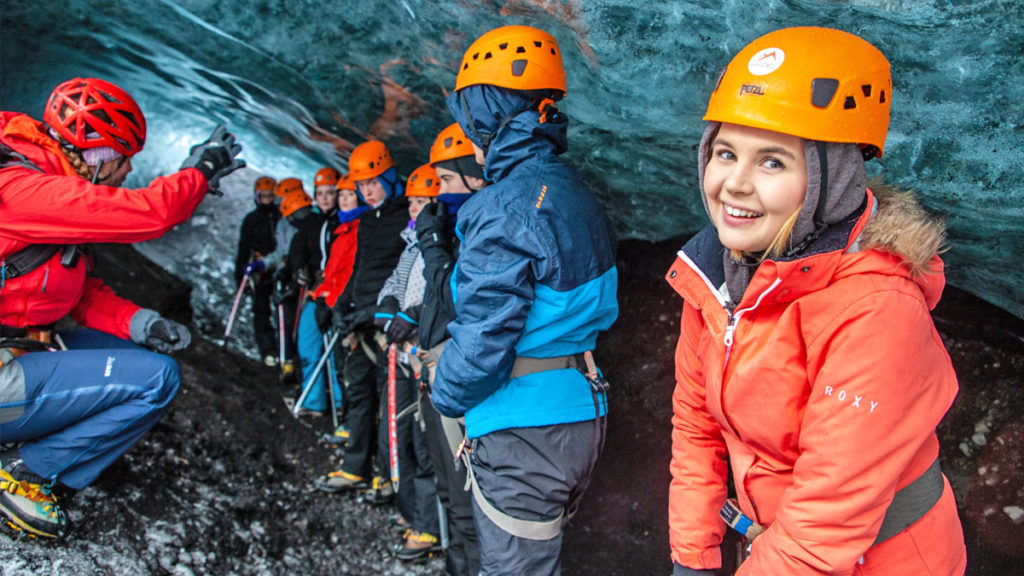
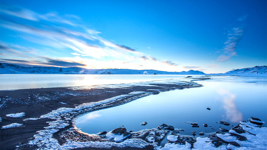
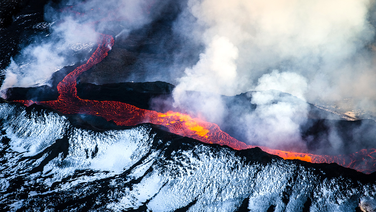
Journey into a mythical world of glaciers and volcanoes as your students discover breath-taking geographical features in Iceland: the land of fire and ice.

Iceland’s a stunning example of natural wonders.

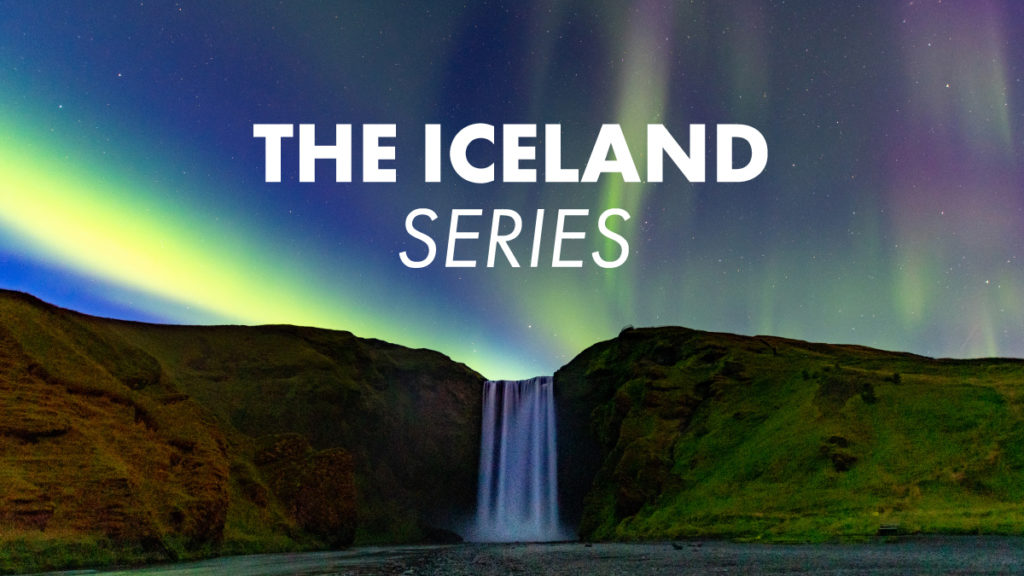
And because it’s one of our most popular educational destinations, we’ve compiled a list of legendary proportions.

So, scroll down.

Glaciers

With some of the largest glaciers in Europe, Iceland includes icy terrain to explore and learn from.

There are a staggering 269 named glaciers, with around 11% of Iceland’s land mass covered by ice. Plus, you can see almost all types of glacial mass like ice caps, ice streams, outlet, mountain, alpine, piedmont and cirque glaciers.

However, we’ve only listed a few of the more prominent ones here.

People hiking along a glacier in Iceland

Vatnajökull glacier in Iceland

Vatnajökull

2110m high and covering an area around 8100 to 8300 square kilometres, Vatnajökull is Europe’s largest glacier. Boasting 3300 of cubic km with its thickest part around 1000m, this ice cap is also a national park.

Researched extensively by The Iceland Glaciological Society, there’s a rich stream of information around this glacial mass. Also, there are seven volcanoes underneath it.

Plus, there’s Jökusárlón, which is a gorgeous glacial lagoon, and Hvannadalshúkur, which is Iceland’s highest peak.

A tunnel inside Langjökull glacier in Iceland

Langjökull

Measuring 50km at its longest and 20km, at its widest, with the ice measuring thickest around 580 metres deep – Langjökull is Iceland’s second largest glacier. Commonly referred to as “The Long Glacier”, this ice cap conceals a summit caldera and several small shield volcanoes.

Also, our established relationships with Field Study Tutors (FSTs) mean we can arrange a guided tour of a man-made ice cave within this glacier. Giving students chances to see hidden crevasses, stunning blue ice and a tremendously unique view.

Mýrdalsjökull glacier in Iceland

Mýrdalsjökull

Iceland’s southernmost ice cap, it’s the fourth largest with part of the popular hiking route Fimmvörduháls Pass resting in its rough 596 square kilometres.

Also, the colossus Katla caldera lies underneath the glacial mass, with its feared eruption long overdue.

Students hiking with a guide along the Sölheimajökull glacier in Iceland

Sölheimajökull

An outlet glacier of Mýrdalsjökull, Sölheimajökull is only 98 miles from Reykjavik.

And at just over 5 miles long and a mile wide, it’s great for exploration as well as educational hiking.

Which is what we offer with our Blue Ice Adventure, where we’ll equip you with crampons and ices axes in a galvanising 2-hour guided tour. Your students will learn about the ice, its movement and its rate of retreat.

Oh, one more thing – if you get to the top you’ll see stunning views of the south coast.

Volcanoes

The mighty, awe-inspiring and irrepressible geological forces that are volcanoes. Coming in all shapes and sizes, they range from calderas, lava domes, stratovolcanoes and shield volcanoes.

And Iceland is full these fire mountains, with 32 volcanic systems including around 130 active, dormant and extinct volcanoes.

Plus, we’ve put together a few of the most talked about below.

Volcano erupting in Iceland

A view of the volcano Katla in Iceland

Katla

One of the world’s most volatile lava behemoths, Katla is connected to Eldgjá canyon – which is the largest volcanic ravine on Earth. Closely linked with Eyjafjallajökull, it usually erupts around 10 years after it but is long overdue.

Categorised as a caldera, it’s 1,512m peak ice cap looms high above the landscape below and can be seen from the Ring Road as well as when glacial hiking round Sölheimajökull.

A view of the volcano Hekla in Iceland

Hekla

With over 20 eruptions since 874, Hekla is one of Iceland’s most active volcanoes. A stratovolcano in the south of the country, it’s part of a 25-mile-long volcanic ridge and dominates the skyline at 1,491m high.

Producing one of the greatest lava flows since 2000 of any fiery colossi in the world, around 10% of Iceland’s landmass was formed from lava spewed by Hekla.

Plus, you can pass this phenomenon whilst on our tour of the world-beating valley Landmannalaugar, which boasts vibrantly coloured mountains and geothermal pools.

A view of the no longer active volcano Saxholl Crater in Iceland

Saxholl Crater

A perfect example of an extinct volcano, Saxholl Crater is ideal for a short hiking trip as it’s only 100 metres to its summit.

From that apex, you’ll find spectacular views of the Atlantic Ocean as well as the dazzling, dried lava fields of Snæfellsnes Peninsula.

A view of the volcano Eyjafjallajökull erupting tephra in Iceland

Eyjafjallajökull

This sub-glacial volcano become a globally recognised name with its relatively small eruption in 2010, which massively disrupted air travel across Europe. The country’s 6th largest, it’s a stratovolcano with magma chambers intimately linked with Katla.

Now safe to visit, you can see it with the LAVA Centre experience located in Hvolsvöllur. Which is around an hour and thirty minutes from Reykjavík.

Cooling Off

And there we are, a short list of some gargantuan natural wonders ripe for student education.  

If you want to discover more breath-taking geographical features in Iceland: the land of fire and ice, call or email us. Or, you could take a deep dive into our colossal Icelandic webpage by just clicking here.

Happy trails!