Fire or Ice? Two Very Different Geological Classrooms
One of the biggest differences between Iceland and Norway lies in how their landscapes were formed.
Iceland’s Magnificent Landscapes
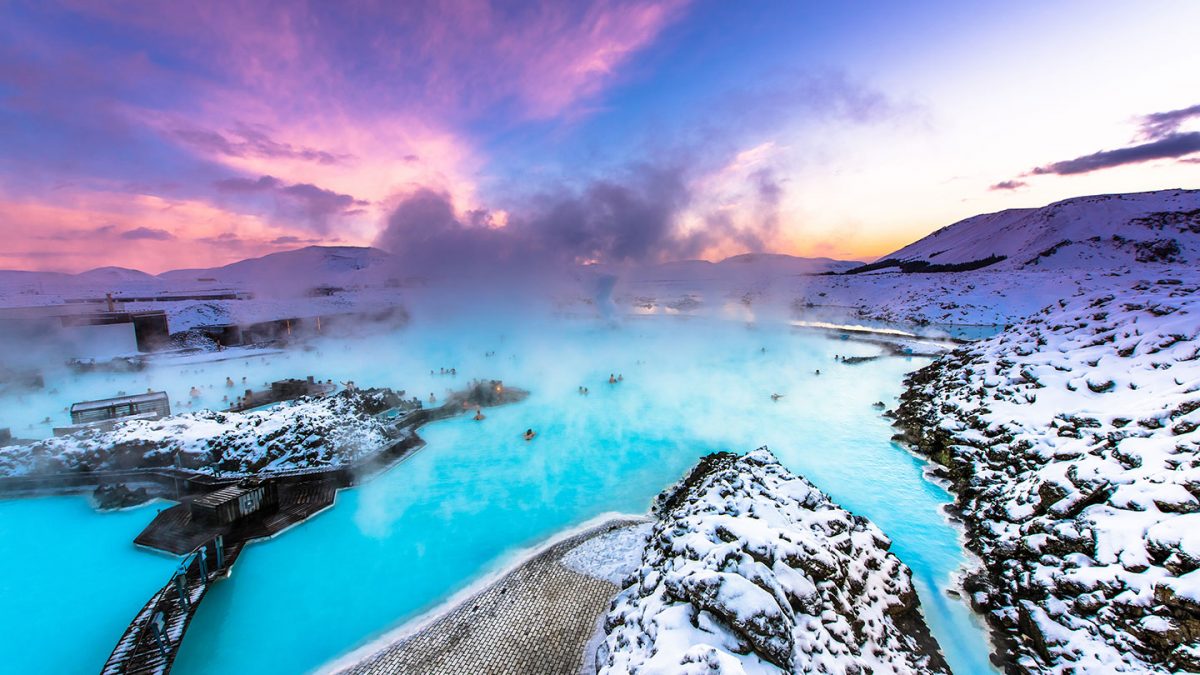
In Iceland, the focus is very much on active geological processes. Located on the Mid-Atlantic Ridge, the island sits directly between two tectonic plates. At sites such as Thingvellir National Park, students can see where the North American and Eurasian plates are slowly pulling apart – a rare opportunity to observe plate tectonics above ground.
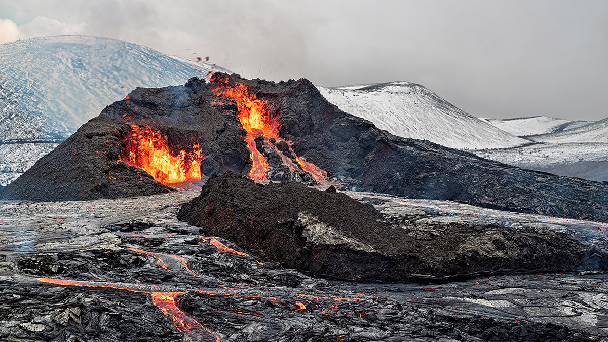
Across the country, geothermal activity provides further evidence of the Earth’s energy beneath the surface. Steam vents, lava fields, and volcanic craters dominate the landscape, particularly around the Reykjanes Peninsula. For students studying natural hazards or volcanic processes, Iceland offers a living laboratory where these forces are still actively shaping the land.
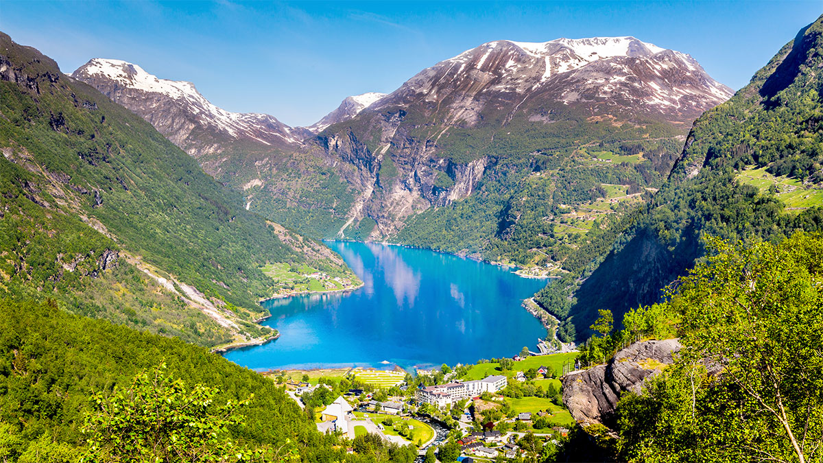
Norway’s Picturesque Terrains
Norway, by contrast, tells a story shaped primarily by glacial erosion rather than volcanic activity. During the last Ice Age, enormous glaciers carved deep valleys through the mountains, leaving behind the spectacular fjords that now define the Norwegian coastline.
Cruising through the breathtaking Nærøyfjord, students can clearly see the classic U-shaped valleys created by glacial movement. Towering cliffs rise dramatically above the water, whilst waterfalls cascade down steep rock faces – this is evidence of the scale of glacial erosion.
For many students, seeing these landscapes first-hand helps transform theoretical concepts like glacial processes into something tangible and memorable.